Download Now
24/7 ONLINE SUPPORT

Robotic TS GTL-1200
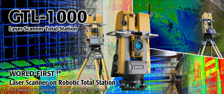
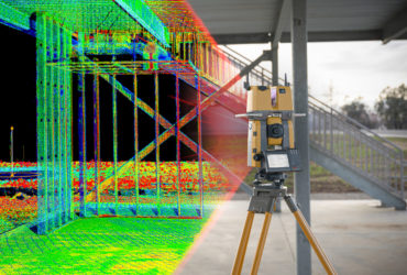
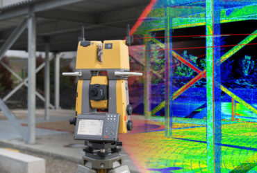
The GTL-1200 combines the power of a robotic total station with a best-in-class laser scanner to perform digital layout and capture high-res 3D scans in a single setup. Simplify the scanning process and dramatically reduce the need for post-processing by capturing scan data on survey control. The workflow seamlessly integrates with ClearEdge3D software for advanced construction QA workflows and as-builts.
Speed up mapping workflows
Our mobile mapping systems are the perfect solution when a massive amount of asset data must be collected in a short amount of time. By mounting a mapping system with various integrated sensors (GNSS, laser scanner, camera, IMU, wheel encoders) to a vehicle, users get all field data quickly. Just drive at normal speeds and get locations and visual detail of all roadside features, with no need to revisit the field for missing points. Simple office software can then be used for viewing, processing, projecting and exporting data for GIS or CAD software.


